
The station is closed to the public from early September to late May but welcomes school classes and other groups for educational programs.
We are open to public drop-in visitors from May 18 to September 2, 2024.
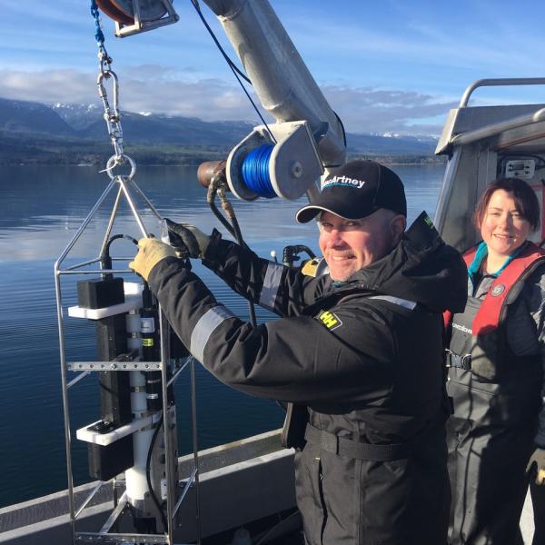
Deep Bay Marine Field Station is a unique research and educational facility serving faculty, staff and students from Vancouver Island University.
Nestled in the heart of Deep Bay along the southern reaches of Baynes Sound, the station's dual focus is aquaculture research and marine science education. Oysters are the main research subject, and aquaculture research at the station is year-round. During the academic year from September to May, on-site educational programming is limited to school classes, pre-booked tours for groups of ten or more, and special marine science events. If y0u are a teacher interested in bringing your class to the station, you can find out more at the link below.
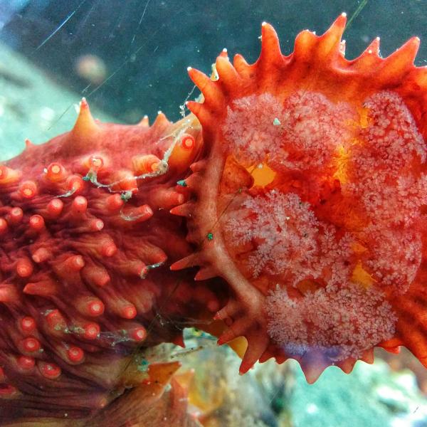
During the vibrant summer season, spanning the May long weekend to the first weekend in September, we enthusiastically open our doors to the general public. Engaging touch tanks, captivating aquaria, and enlightening exhibits stand ready to unveil the marvels of local marine life. You can also take a peek into our research labs from the viewing mezzanine and gain insights into ongoing research that revolves around shellfish aquaculture.
At the Deep Bay Marine Field Station, knowledge knows no bounds, and curiosity finds its home.

Book A School Class Field Trip!
We accept school field trip bookings year-round. Check out our education programs and book your class for an activity or tour.


")
!")
 to enjoy the wonderful world around us!
We thought this picture may brighten your day! Happy Earth Day everyone!â¤â¤â¤â¤")


Research
As a key part of Vancouver Island University's Centre for Shellfish Research, our industry leading facilities are where we conduct applied research that benefits the shellfish aquaculture industry. Take a moment to explore our research!
Education
We are passionate about education! From the tiniest critters to the largest mammals, we are excited to share our knowledge about our local marine systems. Book a school fieldtrip, guided tour, or just stop in for a visit!

Centre for Seafood Innovation
We are very excited to host the Centre for Seafood Innovation (CSI) here at the station. The Centre's mandate is to create new opportunities for BC seafood businesses and strengthen food security for British Columbians. We look forward to seeing the positive impact CSI has on our local food supply.

Come visit us! We are open to the public from May 18 to September 2, 2024.
Admission
Individual admission fees:
Adults (18+): $ 13.00
Youth (6 -17): $ 7.00
Children (up to 5): Free
Public Hours
We open to the public Monday to Friday from 10:00 am to 4:00 pm from the May long weekend until the September long weekend (May 18 to Sept 2, 2024)